Just west of the culvert where the trail crosses Santiago Rd, there's a triangular area that was the junction with a short spur line. The triangular area inside the junction is a possible campsite.
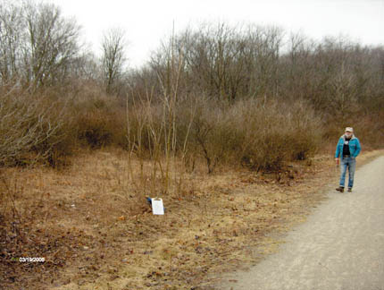
Here's the view from the trail. The path toward Roy (in the red jacket) is the old railroad grade, and it is elevated about 20 feet above the surrounding terrain. It leads to the back side of the possible camping area, which is inside the triangle of the "Y" (not on the RR grade proper, which is full of old ties). The houses on the opposite side of the trail are not visible from the potential camping area.
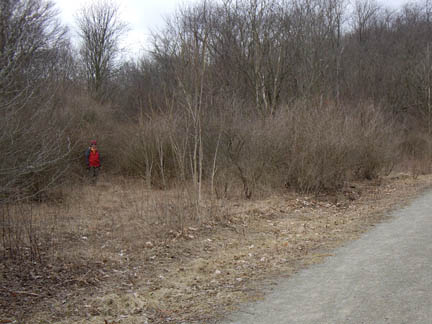
Here's the view back in the woods, maybe 30 ft off the trail.
A bicyclist is passing by on the trail; the flash of his yellow jacket provides
some help with orientation. To make a campsite here would require removing quite a few trees,
but the site could remain shady. The ground seemed dry and firm when we were there, and lots of other areas were soggy.
We were able to visit North Star Junction to review
the site for possible Montour Trail Camping.
Montour Junction is an old WYE that was used to turn locomotives in the days of
the railroad. It is a triangular piece of right-of-way and one third of the
triangle was the mainline railroad, which is now the current trail. The other
2/3s of the triangle are now covered in brush and trees, and the actual "track"
is covered in old moldy railroad ties (The iron rails have been removed).
 |
 |
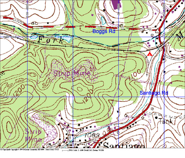
| Charlie on the trail, and where the clipboard is sitting would be one possible entrance to the campsite, or is could be the actual campsite if it is located right along the trail. | Roy is starting down the trail that follows the RR alignment. To reach the area of the second panorama above, go back 30-50 feet and turn right, toward the trail. (this image is part of the first pan above) |
My estimate to make this a viable campsite right along the trail would be about 8 hours of heavy brushhogging by tractor and some chainsaw tree removal, and 3-4 hours with an excavator to smooth out the dirt and also to plant grass.
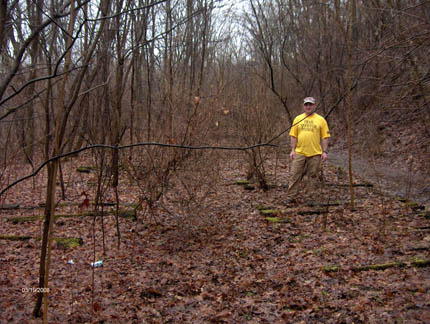
Troy at the upper junction, in among the RR ties. The second pan above
is probably halfway back toward the finished trail.
Up to Mary Shaw Home
Electronic mail: mary [at] shaw [dot] org
Sorry, but I can't put a mailto link in here because the
spammers will harvest it. To contact me, edit the pieces together
in the obvious way.
Snail mail: Shaw-Weil Associates, 414 South Craig St PMB 307, Pittsburgh PA 15213
Copyright © 2000 by Mary Shaw. Use of any portion of this site to generate spam or other mass communication is forbidden. Last revised: March 25, 2008.